Most answers to this question are a shrug: "it snows in winter." That is not useful if you are booking a ski weekend in November, deciding whether to put chains in the trunk in October, or wondering why a trail is still buried in June.
There is a better answer, and it comes from two federal snow gauges that have been recording this exact stretch of the Cascades since 1979. Their thirty-year medians say something more specific, and in one respect genuinely surprising: snow starts falling at the end of October, doesn't hold until December, and doesn't hit its deepest until the middle of April.
We're about 20 minutes east of the pass at I-90 Exit 63, so this is the question we answer for guests roughly forty times a winter. Here is the long version.
The short answer
- First measurable snow on the ground: late October to early November
- Snow that actually stays: mid-November, in fits and starts
- A real snowpack: the first week of December
- Deepest snowpack of the year: mid-April
- Gone from the gauge sites: mid-to-late June
What these gauges actually measure
The two stations are Olallie Meadows at 4,010 feet and Stampede Pass at 3,850 feet, both in King County, both reporting since October 1, 1979. They are part of the SNOTEL network run by the USDA Natural Resources Conservation Service. Stampede Pass is the closer of the two to us — it's the interchange at I-90 Exit 62, one exit west of our driveway.
One important caveat before the numbers. These gauges report snow water equivalent, not depth. SWE is how much water you'd get if you melted the snowpack straight down — it is the number hydrologists and avalanche forecasters actually use, because depth alone tells you very little about a Cascade snowpack that can be powder one week and concrete the next. Actual depth on the ground runs several times the water figure, but the ratio shifts through the season as the pack settles, so we are not going to convert it for you and pretend that's precise.
The figures below are medians for 1991–2020 — the middle of thirty years, not an average, so a couple of freak winters don't distort the picture.
Month by month
October — snow falls, snow melts. The median date the Olallie Meadows gauge first registers measurable snow is October 28; Stampede Pass follows on November 3. So yes, it snows at the pass in October in a typical year. It also melts in October in a typical year. On November 1 the median water content is 0.2 inches at Olallie and 0.0 at Stampede. There is effectively nothing banked.
November — the tease. This is the month that fools people. Storms come through, the pass turns white, the webcams look like winter, and then it rains and the whole thing is gone. Median SWE crosses one inch on November 12 at Olallie and November 17 at Stampede. By November 30, Olallie is at about 5 inches. Real, but thin.
December — it commits. Both gauges cross six inches of water content within a day of each other, on December 2 and 3. Olallie doubles that to twelve inches by December 12; Stampede takes until December 27. This is the two-week window when the season stops being provisional. For reference, The Summit at Snoqualmie opened Summit West on December 23 for the 2025-26 season — one season's date, not an average, but it lands about where the gauge data would predict.
January through March — the build. Steady accumulation rather than drama. Median SWE at Olallie runs 19.4 inches on January 1, 31.5 on February 1, and 41.1 on March 1. Stampede tracks the same shape lower down: 14.6, 24.5, 30.1.
April — the peak, and the surprise. Olallie Meadows tops out at a median 53.5 inches of water on April 14. Stampede Pass peaks at 36.8 inches on April 18. Not January. Not February. Mid-April, when most of the state has mentally moved on to spring.
May and June — the long melt. May 1 medians are barely off the peak: 51.0 inches at Olallie, 33.6 at Stampede. By June 1 they've dropped hard, to 24.4 and 11.6. The gauges finally read zero around June 11 at Stampede and June 22 at Olallie.
Why the peak lands in April
Two things run in opposite directions through late winter. Storms keep delivering snow into April, and at 4,000 feet the pass is high enough that most of what falls stays frozen. Meanwhile melt hasn't started in earnest, because the sun is still low and the pack is deep enough to insulate itself.
The practical consequence catches people out constantly: April is not a spring month at elevation. A trail that's dry in North Bend can be under several feet of snow twenty miles east and eight hundred feet up. It's also why the wilderness lakes above the pass stay locked into July — our Alpine Lakes Wilderness guide covers what that means for hiking plans and permits.
Elevation decides everything
Look at the two gauges again. Olallie Meadows sits 160 vertical feet above Stampede Pass. At peak, it holds roughly 45 percent more water — 53.5 inches against 36.8.
That is the single most useful thing on this page. A hundred and sixty feet of elevation, in this corridor, is the difference between a good snow year and a mediocre one. Which means two further things worth internalizing:
- Both gauges sit above the highway. They are mountain sites, not roadside ones. Whatever they read, there is less snow on the interstate itself, and the difference is large.
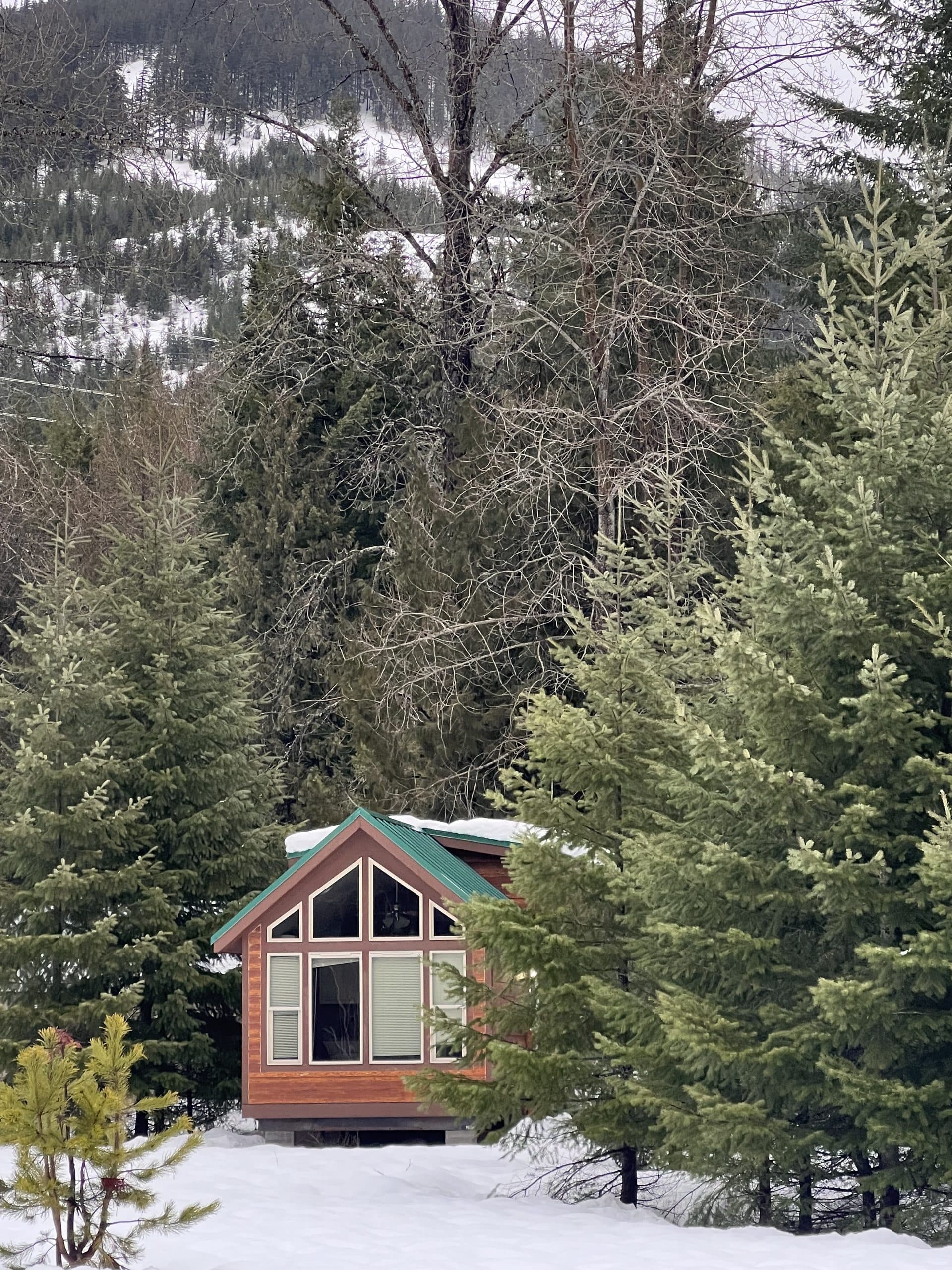
- We sit well below both. Our property in Easton is at roughly 2,200 feet — around 1,700 feet below Olallie Meadows. We get real winters, but we are not a snowpack site, and rain when it's snowing at the summit is completely normal here.
If your question is really "when can I ski," follow the gauges. If it's "will the driveway be plowed," that's a different elevation and a different answer.
What it means for driving
Chain and traction rules run on the calendar, not on conditions. WSDOT requires that from November 1 to April 1, vehicles over 10,000 pounds carry chains "at all times, regardless of road conditions or advisories," and that all such vehicles "must carry at least two extra tire chains." That window is a good proxy for when any driver should have traction gear in the car — it brackets the real season closely.
Note where it doesn't reach. The gauges show meaningful snow at the pass well past April 1, and first snow before November 1. The legal window is narrower than the weather.
What the rules actually require of your car once you are on the road — the three chain signs Washington law allows, the all-wheel-drive condition most AWD drivers miss, and the avalanche closures that happen in clear weather — is covered in our guide to driving over Snoqualmie Pass in winter.
One route note that saves guests a bad evening: arriving from Ellensburg, Yakima, or Spokane means you never cross the summit to reach Easton. When avalanche control shuts I-90 at the pass — which it does, for stretches of thirty minutes to two hours — being on the east side is the difference between checking in and sitting in a queue.
What it means for booking
Roughly, by what you want:
- Reliable snow on the ground at the pass: mid-December through mid-April
- Best odds of deep snow with longer daylight: March and early April
- A gamble: Thanksgiving through mid-December, and any November trip built around snow
- Quietest, cheapest, least predictable: January midweek
- Snow still up high, spring down low: late April and May, an underrated window
Our winter activities guide covers what's actually operating in each of those windows — the four Summit base areas, night skiing, the groomed Nordic trails at Cabin Creek off our own exit, and snowshoeing. If you're weighing months more broadly, the season-by-season guide to Snoqualmie Pass runs through all four. And every unit on our property is hard-sided and heated year-round — the winter cabin rentals page has the per-unit heat and bathroom details, which matter more here in February than the snow report does.
Honest note on our end: when the pass is deep, our lakes are iced at the edges. The kayaks, canoes, paddle boards, and paddle boats are out of service from roughly December through March, and the fishing slows right down. Winter here is a basecamp season, not a lake season.
Sources and how to check it yourself
Snow water equivalent figures are medians for 1991–2020 from the USDA Natural Resources Conservation Service SNOTEL network, stations Olallie Meadows (site 672, 4,010 ft) and Stampede Pass (site 788, 3,850 ft), both reporting since October 1, 1979. Milestone dates were computed from the published daily median series for each station. Both stations publish live current-year readings against the same medians, so you can see how the season you're planning for compares before you drive. Medians describe a typical year and not the one you'll get — check the current report and WSDOT before you travel.