Spring is the season people get most wrong on this stretch of I-90, and the reason is simple: the calendar says March and the mountain says January. Down in Easton, where we sit at I-90 Exit 63, the daffodil version of spring shows up roughly on time. Twenty minutes west and 1,800 feet up at the summit, the snowpack is still growing through March and does not peak until the middle of April.
That gap is the whole story, and it decides everything — which trails go, which gates are locked, which parking pass is legal on which weekend, and whether the trip you are picturing exists yet.
Everything below comes from federal data you can check yourself: snow water equivalent medians from the USDA Natural Resources Conservation Service SNOTEL network, and 1991–2020 climate normals from NOAA.
The snowpack is still gaining in March
Two NRCS snow gauges bracket the pass: Olallie Meadows at 4,010 feet and Stampede Pass at 3,850 feet, the second of which sits at the I-90 Exit 62 interchange, one exit west of our driveway. Both have reported since 1979. Here is the median season from March on, in inches of snow water equivalent:
- March 1: 41.1 at Olallie Meadows, 30.1 at Stampede Pass
- April 1: 52.3 and 36.6
- The peak: 53.5 inches on April 14 at Olallie, 36.8 inches on April 18 at Stampede
- May 1: 51.0 and 33.6
- May 15: 42.7 and 23.8
- June 1: 24.4 and 11.6
- Zero: around June 11 at Stampede, June 22 at Olallie
Read the first two lines again. Olallie Meadows banks 11.2 more inches of water during March than it held on March 1. March is an accumulation month at the pass, not a melting one. Our guide to when Snoqualmie Pass gets snow works through the full twelve-month curve and why the peak lands so late.
Then comes the part that actually governs a spring trip. On May 1 the Olallie gauge still holds 95 percent of its peak. The melt is not gradual and it is not early — it is two weeks long and it happens late. Between May 15 and June 1, Olallie drops from 42.7 inches to 24.4, shedding 43 percent of its snowpack in seventeen days. More water leaves the mountain in that fortnight than arrived during all of March.
The practical translation: alpine trails and high lakes are not a spring objective here. Early June is the honest beginning of hiking season above 3,500 feet, and our summer guide picks the story up from there. Spring belongs to low elevation, moving water, and the valley.
Three weather stations, three different springs
NOAA keeps long-running stations at three points along this stretch of I-90. Normal high, normal low, and normal precipitation, 1991–2020:
- Stampede Pass (USW00024237, 3,959 ft, up on the pass — a NOAA weather station, not the NRCS snow gauge of the same name named above): March 40.2 / 29.0, 8.84 in. April 45.7 / 32.7, 6.46 in. May 53.4 / 38.4, 4.65 in.
- Easton (USC00452384, 2,170 ft, our town): March 46.0 / 28.7, 4.94 in. April 52.5 / 32.5, 3.42 in. May 61.0 / 39.0, 2.21 in.
- Cle Elum (USC00451504, 1,900 ft, 15 minutes east): March 48.9 / 27.8, 2.73 in. April 57.3 / 32.9, 1.41 in. May 66.1 / 40.4, 1.64 in.
Three things in those numbers are worth carrying with you.
March at the summit is wetter than February. Stampede Pass normals run 7.92 inches in February and 8.84 in March — nearly seven times what the same station gets in July. If you are picturing spring as the dry side of winter at the pass, it is not. It is the loud, wet end of it.
The rain shadow is at its widest in spring. In April, Easton collects 47 percent less precipitation than the summit and Cle Elum collects 78 percent less. That spread is larger than it is in midsummer, and it is why a socked-in webcam at the ski area says very little about the afternoon down in the valley east of the crest. Driving down the east side in April is routinely a change of season rather than a change of weather.
Valley nights stay at freezing well into April. Easton's normal April low is 32.5°F — exactly freezing, on average, which means half the nights of a normal April are colder. May only gets you to 39.0. Afternoon highs swing about 20 degrees above those lows. Pack for a 52-degree lunch and a hard frost on the same day, and if you are towing, our cold-weather hookup guide still applies through April.
The spring calendar, in the order it happens
Spring is less about weather here than about gates and permits, and almost nothing lines up with the equinox.
- March 31 — Lake Easton State Park stops being a Sno-Park. From December 1 through March 31 the park operates as a Sno-Park where a Discover Pass is not valid; after that the Discover Pass is the pass you need. Full details on the park.
- April 1 — the chain-carry rule ends. WAC 204-24-050 requires vehicles over 10,000 pounds to carry chains over I-90 between North Bend and Ellensburg from November 1 to April 1. Conditional chain requirements can still appear after that date in a late storm; our winter driving guide has the full rules.
- April 1 — Gold Creek Pond closes. Backwards, and genuinely surprising. See below.
- April, snow depending — the Lake Easton boat launch opens. State Parks lists the launch as opening in April "depending on snow levels," at $7 per day with a 10-horsepower limit on the lake.
- April 24, 2027 — the lowland lakes trout opener. WDFW's wording: "the fourth Saturday in April marks the traditional start of the lowland lakes fishing season." Hundreds of lakes open on one morning, and the state confirms the date each spring.
- April 30 — Sno-Park permits stop being sold. Washington State Parks sells them November 1 through April 30 only. Our recreation passes explainer covers which of the four local passes does what.
- About May 1 — the Snoqualmie Tunnel reopens. State Parks: the tunnel "is closed from Nov. 1 - May 1, the re-opening date is weather dependent," and the 2026 closure notice pointed simply to "May."
- Mid-May — Lake Easton's campground reopens. The park's standing rule is closed November 1 through May 1, but the current posted alert runs the closure from October 30, 2026 through May 15, 2027. Two extra weeks is the kind of detail worth a phone call before you book an early-May campsite.
- Early to mid-June — the high country melts out. See the gauge dates above.
What's actually worth doing in spring
Waterfalls, at their best hour of the year. All that snowpack has to go somewhere, and May is the highest-flow month on the Snoqualmie River, which is exactly why it is the best time to visit Snoqualmie Falls. The same logic applies to Franklin Falls and Denny Creek on the west side once their access roads clear.
The reservoirs, full. Spring is the one season when the corridor's big irrigation reservoirs are near capacity. By August, Kachess is being spent for downstream salmon flows and its boat launch goes dry — in 2026 it closed on August 1. If you want Kachess or Cle Elum looking like a lake rather than a bathtub ring, come in spring.
The rail trail, with one caveat for 2027. The Palouse to Cascades State Park Trail runs the old Milwaukee Road grade straight through Easton, flat and low and snow-free long before any mountain trail. One warning for this coming spring: State Parks has the 3.5-mile section west from Hole-in-the-Ground Road scheduled for construction from December 2026 through June 2027, with access closing once work begins, and the Revere trestle is separately closed for repairs with Revere Road as the detour.
Spring skiing, while it lasts. With the gauges at 91 to 95 percent of peak on May 1, there is usually plenty of snow left at the ski area in April — but lift operations end on business calendars, not snow calendars. The Summit does not publish a closing date far in advance, so check their conditions page before you plan around it. Our winter activities page covers the four base areas.
The towns, before the crowds. Roslyn and Cle Elum are 15 to 20 minutes east, warmer and drier than anything at the pass, and genuinely quiet in April.
The one thing that closes for spring: Gold Creek Pond
The easiest, flattest, most family-proof walk at the pass is shut for the entire warm season. The Washington Trails Association states it plainly: "The Gold Creek area will close every April 1 – Nov 30 through 2028 for a restoration project."
That is a 1.0-mile paved loop with 10 feet of elevation gain, the kind of walk you would pick first with a stroller or a grandparent, and it is open in winter and closed in spring, summer, and fall. Plenty of older guidebooks and blog posts still recommend it for a May visit. Don't drive out there. Our guide to the trail has the closure order and what to do instead.
Spring on our side of the pass
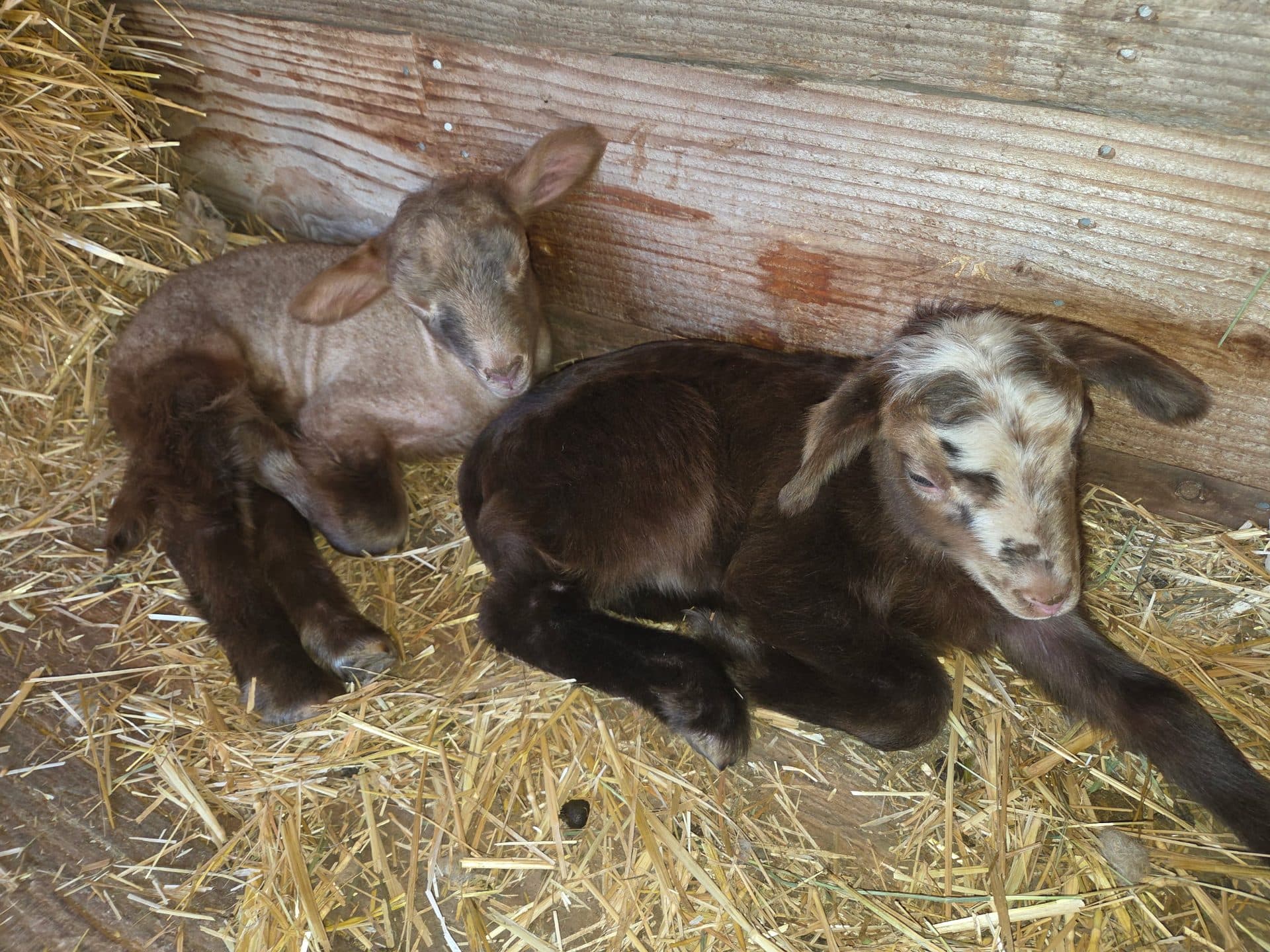
Our four lakes are small, shallow, private, and at 2,200 feet — which is the whole point in spring. They thaw and warm weeks before anything up the hill, and because the water is private, no Washington fishing license is required and there is no state opener to wait for. While hundreds of public lakes are queued up behind the fourth Saturday in April, ours have been fishable the whole time. Kayaks, canoes, paddle boards, and paddle boats are free with any stay, and the sheep, alpacas, and horses are out in the corral.
Spring is also our quietest, cheapest stretch of the year, which is the honest reason to consider it: midweek availability is wide open, and weekends do not carry the summer two-night minimum. Our season-by-season guide puts spring next to the other three, and the cabins page covers which units have a shower inside and which use the bathhouse.
The honest limits, because spring here has them. It rains — Easton's 3.42 inches in April is less than the summit's 6.46, but it is not nothing. The ground is soft and the property trails are muddy; bring boots you do not mind. Nights are at or near freezing into May, so tent camping in March and April is for people who know what they are doing, and the cabins do not have air conditioning but they do have heat, which is the one that matters this time of year. And the high country you can see from the property is still locked up until June.
Conditions as of November 9, 2026
- Snow water equivalent medians are 1991–2020 values from NRCS SNOTEL stations Olallie Meadows (site 672) and Stampede Pass (site 788), pulled from the agency's report generator. Both stations publish live current-year readings against the same medians, so you can compare the spring you are planning for against a normal one before you drive.
- Temperature and precipitation figures are NOAA 1991–2020 monthly climate normals, available in the U.S. Climate Normals tool under the station IDs named above.
- Lake Easton State Park: campground closure posted as October 30, 2026 to May 15, 2027, against a standing winter schedule of November 1 to May 1. Sno-Park status December 1 to March 31.
- Palouse to Cascades State Park Trail: Hole-in-the-Ground Road section construction December 2026 to June 2027; Snoqualmie Tunnel closed November 1 to May 1, reopening weather dependent.
- Gold Creek area: closed April 1 to November 30 each year through 2028.
- Chain-carry requirement for vehicles over 10,000 pounds: November 1 to April 1 under WAC 204-24-050.
Medians and normals describe a typical year, not the one you will get. For the week you are actually traveling, the agency pages linked above are the authority — and 425-622-2790 reaches someone here who can tell you what the road and the ground look like today.